Done Pictures

High-resolution drone photography
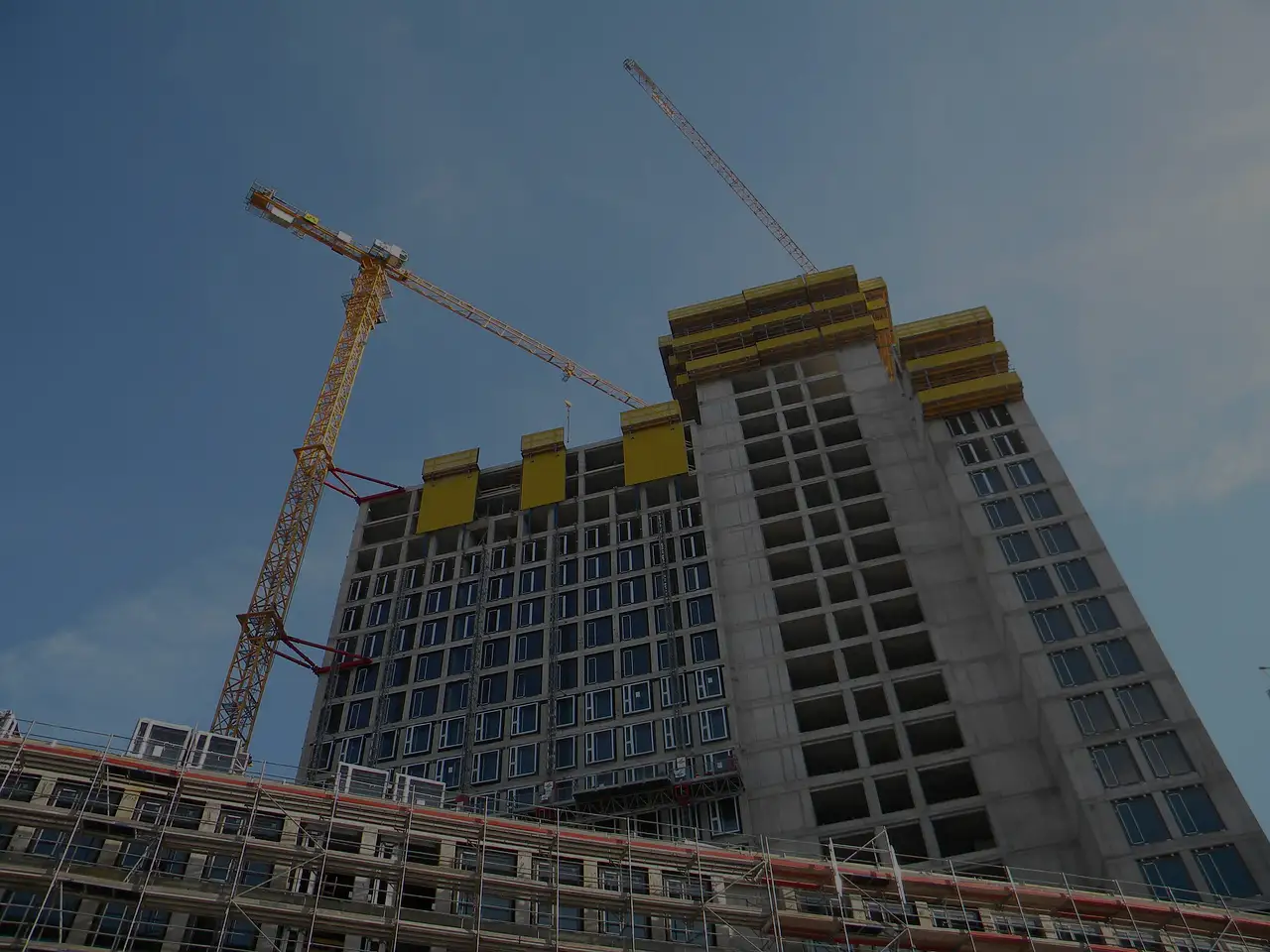
BATIMOI BTP offers high-resolution drone photography services, capturing aerial views of lands and construction sites with precision and clarity. Our drone imaging provides clients with an accurate perspective of their property, project progress, and site conditions. Ideal for surveying large areas, monitoring construction developments, or showcasing land for potential buyers, our drone services combine advanced technology and expert operation. With our aerial imagery, clients can make informed decisions, plan effectively, and visualize projects from a comprehensive bird’s-eye view. Experience modern site documentation and assessment with BATIMOI BTP’s professional drone photography services.
How We Carry Out the Service
1. Initial Consultation & Flight Planning
We assess your land or site, determine optimal flight paths, and plan shots based on project needs and safety regulations.
2. Drone Deployment & Image Capture
Our certified drone operators use high-resolution drones to capture detailed aerial images and videos from multiple angles.
3. Data Processing & Enhancement
Captured images are processed using advanced software to enhance clarity, colors, and perspective for precise site representation.
4. Analysis & Reporting
Clients receive detailed visuals with measurements, annotations, and insights to support decision-making, progress tracking, or marketing purposes.
5. Delivery & Archiving
Final images and videos are delivered in high-quality digital formats, with secure storage for future reference or project documentation.
Ready to start your journey with us?
Get a comprehensive aerial view of your land or construction site with BATIMOI BTP’s drone photography services. Fill out the form below and select “Drone Pictures of Land and Sites” to schedule your drone survey today!